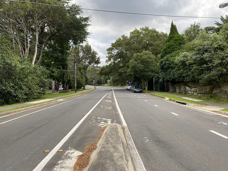
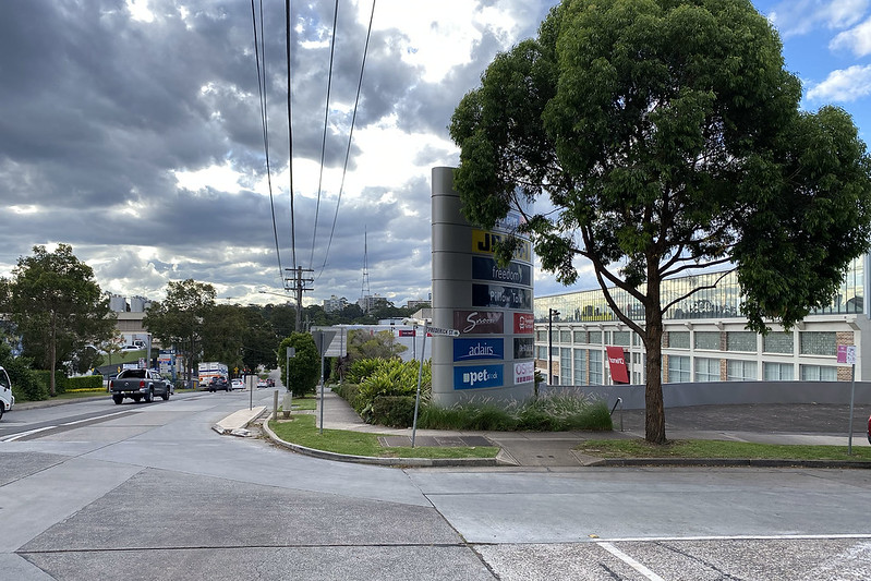
We start at River Road again, the boundary between the suburbs of Greenwich to the left (south) and St Leonards to the right (north). For walk 6. Greenwich Road we went up the hill a little bit from here and turned left into Wilona Avenue, Greenwich.

This time we're going up a little and then turning right, at the green sign that says "To Berry Rd". (That's Wilona Avenue across on the left, where the white car is parked.)

Cars can't turn here at this green sign, but there's a set of steps up the hill for pedestrians.

Climbing... Nowhere near as bad as the Stairs of Cirith Ungol that we climbed in walk 5. Gore Creek.

The stairs lead to Berry Road, predictably. Which continues uphill.
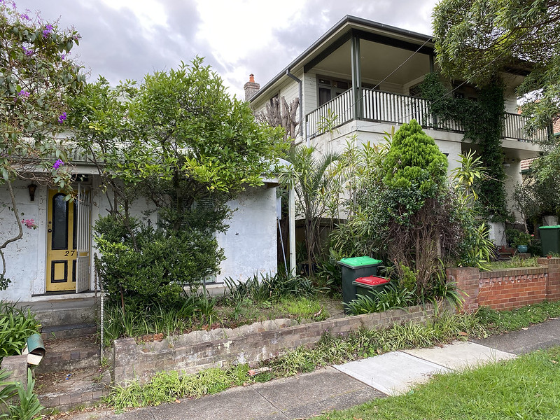
The houses along here are all slated for demolition in a huge urban renewal project proposed by the local council. They want to raze three or four whole blocks and build a bunch of new apartment towers. This plan has been in development since at least 2014, and it's currently undergoing further reviews, following a large community protest. Many of the houses in this area are old and run down.

Although some residents apparently bought land and built brand new homes just before the redevelopment plans were released... They'd have to be pretty upset by the whole thing.
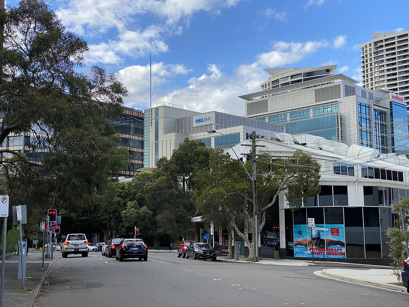
Berry Road leads up the hill to the Pacific Highway, the main arterial route north of Sydney's centre into the northern suburbs. And then on north all the way to Brisbane, 790 km away.

This is a view east down the highway to the commercial area of St Leonards.

Across the highway is Royal North Shore Hospital. Mostly hidden behind the trees at left, but the brand new building on the right is part of it. The little bit of grass at far left...

Opens out to Gore Hill Oval. Where the fitness equipment is currently off-limits due to COVD-19 social distancing safety.
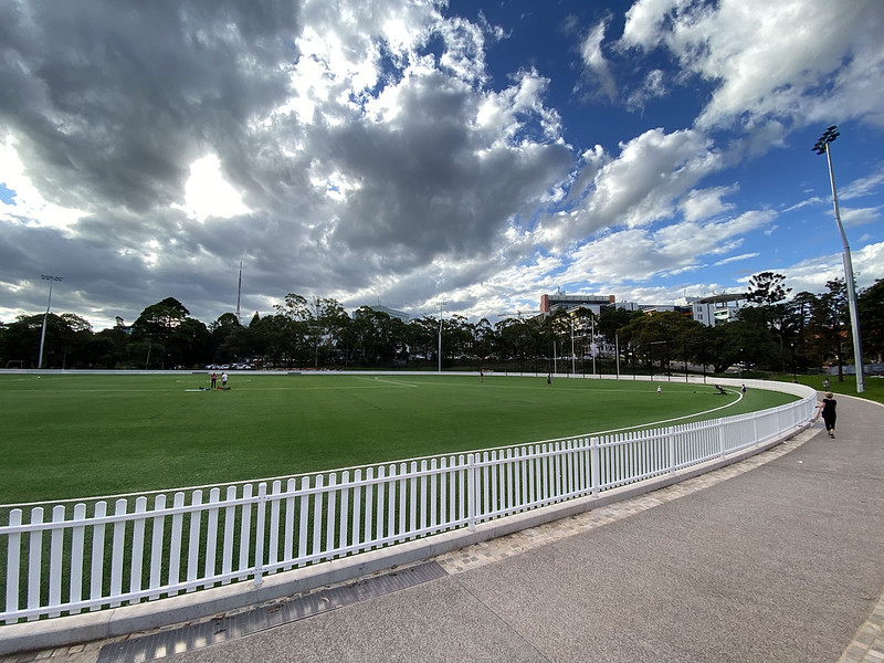
A little further along is the Oval itself. It used to be natural grass, but it was replaced last year with artificial turf. It's used for Australian rules football in the winter and cricket in the summer. And people just running around and getting exercise whenever games aren't on. The large buildings at top right are the hospital.

Across the access road is the Vanderfield Building, the original hospital building on this site, opened in 1902. The hopsital itself was opened in 1887, at a different site in the nearby suburb of Crows Nest, but moved here to St Leonards in 1902. This building now houses a historical medical museum. Which is open on Thursdays from midday to 2pm, or by appointment. The University of Sydney has an online history of the hospital.

The new hospital buildings loom over the old brick ones, complete with helipad on the roof.

These buildings are very new, having replaced 1960s era buildings just in the last decade.

The main entrance of the hospital. Royal North Shore is a public hospital, one of the largest in Sydney. Being walking distance from my home, I've visited the emergency department here a few times for various things.
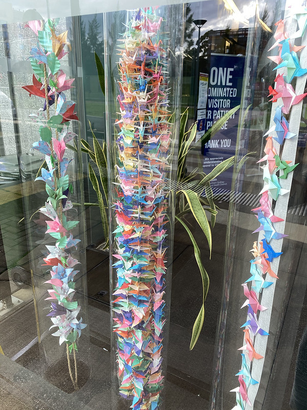
The entry foyer contains 1000 origami cranes, in the old Japanese tradition.
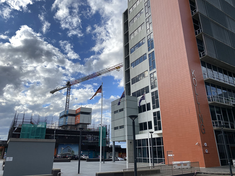
Behind the main building, more construction is on progress to further enlarge the hospital. We've steadily been walking uphill this whole walk so far, but now we reach the peak and start heading downhill again.
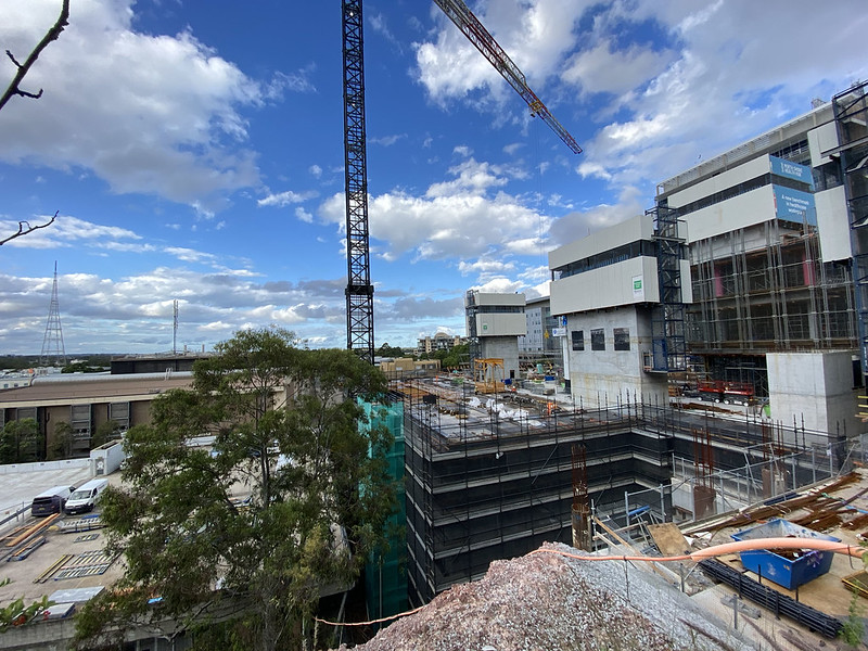
Another view of the construction, from behind. And you can start to get a sense of the view from this hill. This is one of the highest areas in Sydney, and the location of several television transmission towers. The one visible here is for Channel 9.
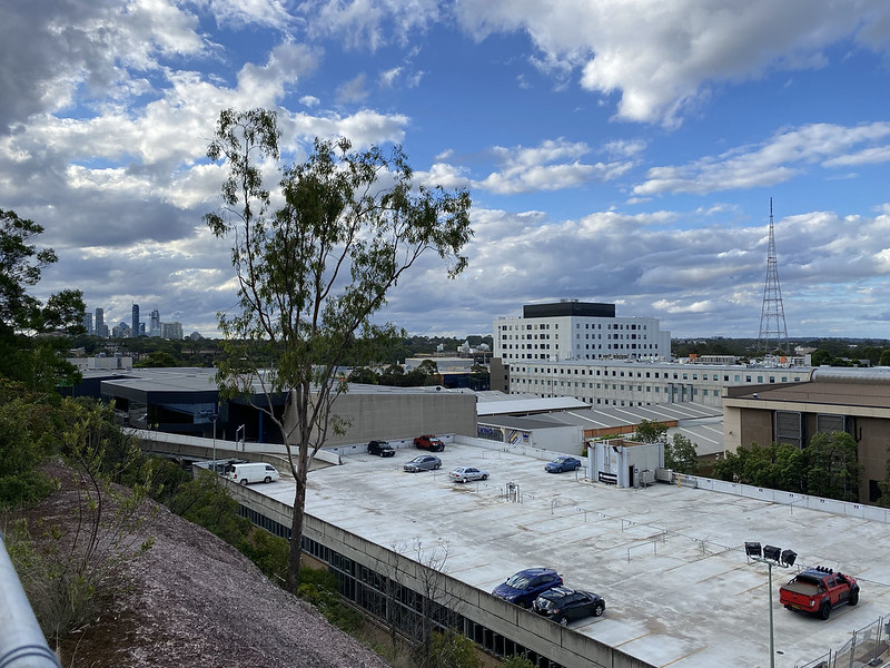
Looking further north, the direction we're walking, we can see the high rise offices of Chatswood, a couple of suburbs away. Around here, we cross from St Leonards into the suburb of Artarmon.
This part of Artarmon is very industrial, with a lot of light industry: car repair workshops, furniture makers, caterers, a concrete factory, storage hire places, etc. And the sort of shops that need a lot of floor space. This is Home HQ, a complex full of furniture shops, carpet, bedding, major appliances, and so on.
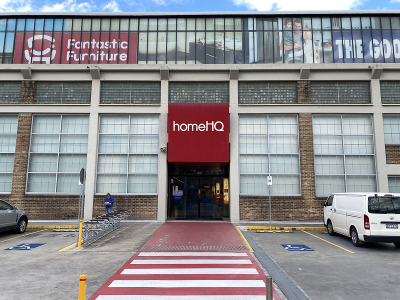
I don't have any business here today, but it's worth going inside Home HQ for a look at the interesting architecture.

The building is an old factory building, constructed by the North Sydney Brick & Tile Company in 1950. Bricks were first made in this area from 1828, and the North Sydney Brick & Tile Company was formed by amalgamation of adjacent brickworks in 1902. Production stopped during World War II, but when it restarted the company had this new factory building constructed. It was built by Federated British Engineering Ltd. However soon afterwards in 1958 the company moved to new premises further from the city at Baulkham Hills. The factory building passed hands, ending up being bought by the Willoughby City Council in the 1980s. The council used the building as a works depot for many years, but now leases the site to retail outlets, which together form Home HQ.
The original factory shell is intact, including the roof and this cool overhead crane, and the interior has been refitted for the shops, which opened in 2010. The building is heritage listed as an outstanding example of a post-war industrial building, and the refit as a retail space in 2010 won an architectural design award.

Another view showing the neat roof and crane.

It also has one of the largest "take a book, leave a book" community libraries I've seen.

My destination today is the next property beyond Home HQ, which is Bunnings Hardware. I'm here to buy a ceramic pot for planting my growing chilli plant.

Pot acquired, we continue our walk, turning west. We pass this intersection, showing a car rental company, and behind it another industrial place, with a child care centre on the top floor, where kids can play on the roof and breathe the industrial fumes. (Actually it's not so bad... I don't think there are any seriously polluting industries here.)
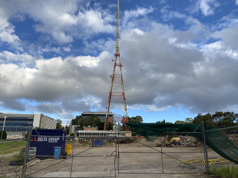
Further along is another construction site, where 1960s era buildings have been torn down in the last few years. This was the site of ABC, the Australian Broadcasting Corporation. Their transmission tower is still here, but their offices and studios have moved. This site will become new offices soon.

We meet up again with the meandering Pacific Highway, making its way north. Across the Highway is the curiously named Twin Towers Inn motel. The name alludes to precisely two more towers than the building actually has. No part of the motel extends above the roofline visible here.
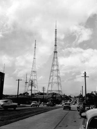
EDIT: Reader David R. wrote to say that the reason why the Twin Towers Motel has that name is because Channel 7 used to have its TV tower next to the ABC tower (see photo below). The symbol for the motel used to have two towers in it. The Channel 7 tower was demolished about 1972. And here's a photo of the twin TV towers.

We turn and walk south along the Pacific Highway, past the ABC television transmission tower.
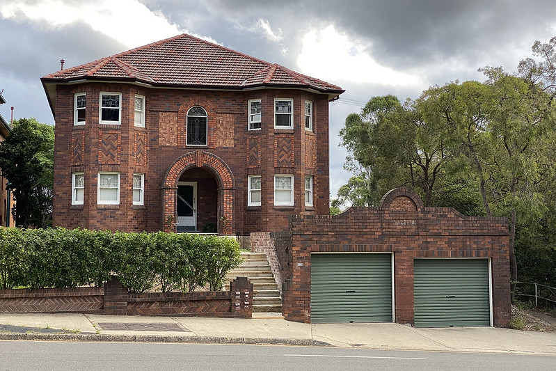
There are some old houses facing the highway, dating back to when it was simply a road, and not a major artery with non-stop traffic. This house on the western side of the highway has the name "Valetta" written crudely on the garage, but it is not the original "Valetta". In 1869 a Mr Richard Harnett built a house opposite this location on the eastern side of the highway, naming it Artarmon House. George Robert Whiting bought the house and property in 1880, renovating it into a large Victorian residence and renaming it "Valetta". The North Sydney Brick & Tile Company purchased the estate in 1939 (we're only a block from the Home HQ building) and demolished "Valetta" to expand its brickworks on the site. The estate's stables however still stand and are heritage listed. (References here and here.)
Here's a photo I found in Willoughby Library's online archive of the original Valetta House in 1907 (marked as unrestricted usage):

I'm guessing someone painted "Valetta" on this newer brick house as a memorial to the old estate.
On the east side, past the ABC tower, is The Northern Sydney Institute, which is a technical and vocational college, now administered as part of TAFE NSW. The still-standing "Valetta" stables are now actually on the grounds of this college (but not visible in this photo).

Apparently it's the School for Creative Industries.
(I didn't go in to look for the "Valetta" stables because I only learnt about them through research after doing this walk. Another day I went back and explored the Institute grounds to find the stables. Here they are - they've been converted into a child care centre. This side is painted, but shows the double doors where the horses where presumably taken in and out.)

(And another photo showing the other side, which shows the original brickwork.)

Past the Institute, the highway continues south and then turns east, ending up in front of the Royal North Shore Hospital where we first crossed the highway. But here we're taking a detour to the left, into what that sign proclaims to be the Gore Hill Memorial Cemetery.
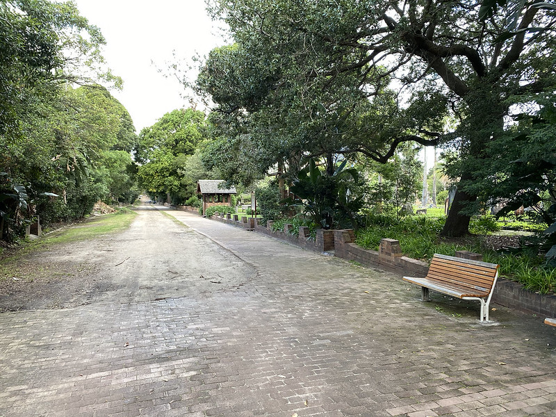
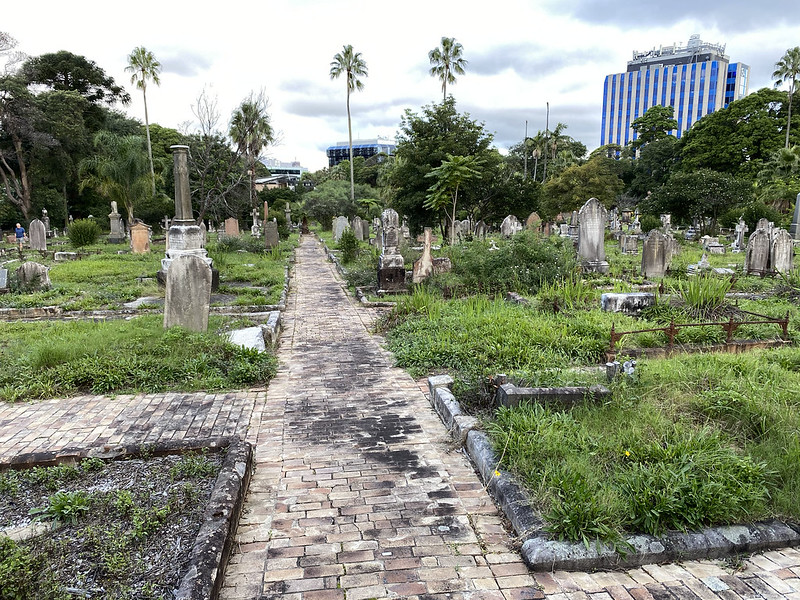
This is an old cemetery, opened in 1868. Here's the main promenade. There are graves in the land on either side. The cemetery is heritage listed.
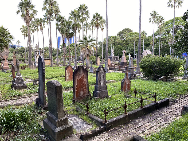
Ducking off the promenade into the cemetery proper reveals a collection of old and neglected graves. Most of the burials date to the early 20th century, and nobody is left who remembers the people buried here, for the most part.

The cemetery was closed in 1974. There were originally plans to reclaim the land for development, but local protest saw those plans scrapped, and the cemetery became a protected heritage site.
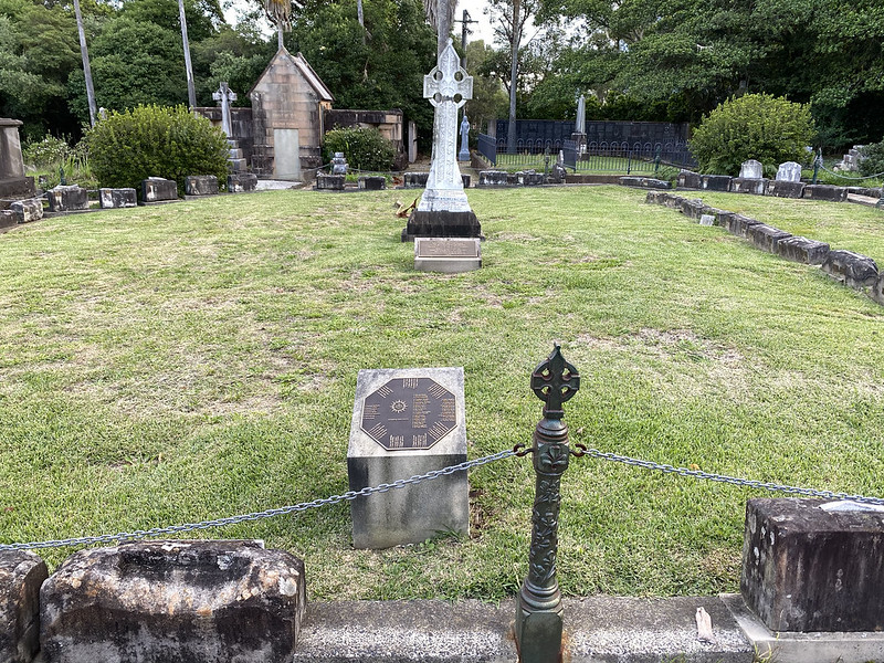
This area is the Mary MacKillop Lawn, and has come back into use by the local Catholic clergy. Catholic sisters and priests are now buried here.
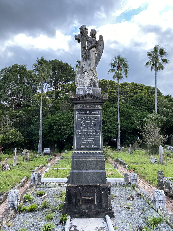
There are some rather ornate graves. This one is for one Margaret Durack, whose obituary appeared in The Catholic Press of 23 February, 1905.
But most are overgrown and falling into disrepair.

I like sculpted angels. But there are very few in this cemetery. Most of the headstones are plain slabs or crosses. But this one has what would have been a fine angel when she had her left hand.

The weather was moody to suit the location.

This is my favourite memorial in the cemetery. An intact angel.
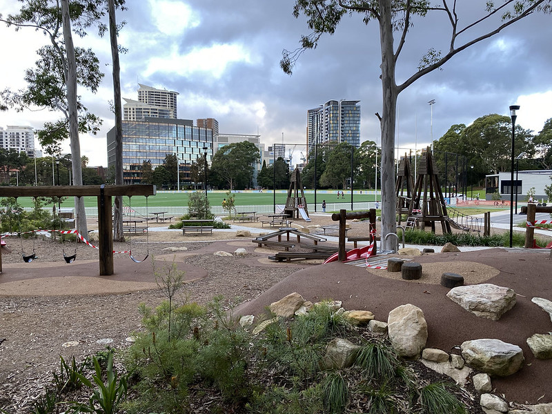
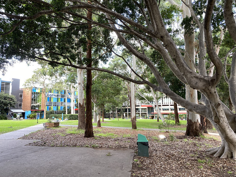
Exiting the cemetery we find we're right behind Gore Hill Oval again, on the far side to before. Where this awesome new playground sits... adjacent to the resting souls of thousands of people from the past century and a half.

Map of this walk, starting at the bottom and progressing anticlockwise. The official name of the oval is "Gore Hill Oval", but I always think of it as "St Leonards Oval". And I think this photo was taken during reconstruction, when they were digging up the natural grass.